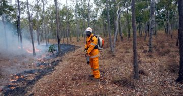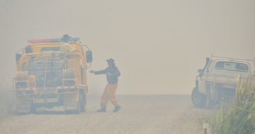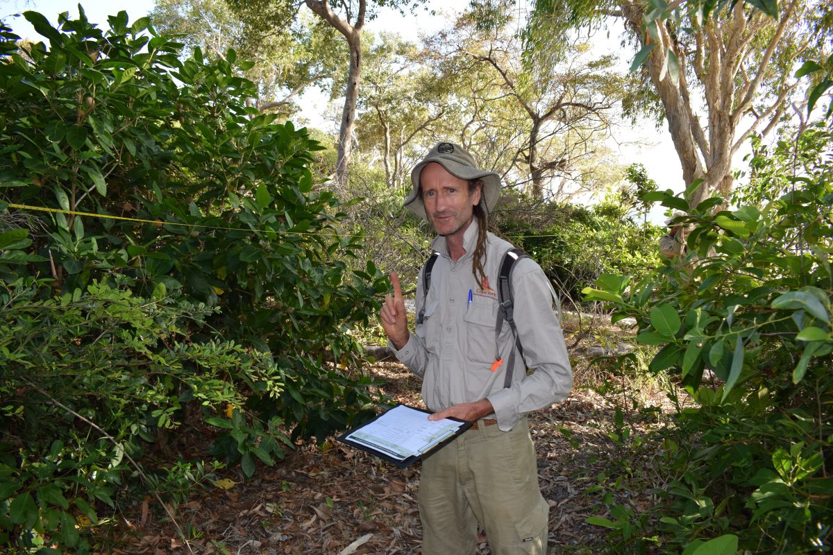
CYNRM fire coordinator Andrew Drenen says its imperative to develop and maintain fire management skills in the Cape. Photo: Cape York Natural Resource Management.
In preparation for rain to let up in the coming months, Cooktown fire managers and interested residents are learning how to use fire-mapping apps and software to better prepare for burns.
Cape York Natural Resource Management (Cape York NRM) is hosting a two-day workshop this week, with day one covering a fire satellite imagery app and day two covering a more advanced fire planning software.
Cape York NRM fire coordinator Andrew Drenen said this is the second time the training sessions have been run in the past six months due to high demand, with this round already fully booked and some on a waiting list.
“The interest has been huge, and everyone really appreciated the opportunity to increase their skills and knowledge,” he said.
“We’ve got [Northern Australia Fire Information] trainers coming up to do the session which is great, otherwise people would have to fly out to do the training.”
Mr Drenen said while Cape York land managers were already well-versed in their fire management techniques, it was always good to continue upskilling.
“The more people that develop and maintain their skills the better, especially with fire management,” he said.
“People do need to be able to monitor fires on the Cape to stay one step ahead of it, and planning is crucial to have a good fire plan for the year, or even for several years.”
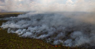
NAFI allows users to view up-to-date satellite images of fires on Cape York, or explore fire history dating back to 2000.
“It’s really quite powerful with the [almost] 25-year fire history that you can use and analyse in many ways,” Mr Drenen said.
“It gets updated several times a day with imagery, and you can also set up text or email notifications if a fire pops up within your particular area of interest that you’ve identified.
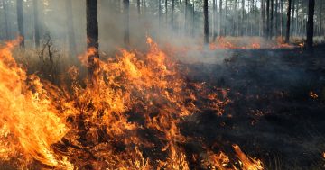
“You can see what’s burning right now, which on the Cape won’t be much at the moment, but in the dry seasons, you can literally see the fire front and which direction it’s spreading.
“Anyone can use that to plan their logistics, where they might need to put in fire breaks, send fire units or send the rangers to manage them.”
QGIS, or Quantum Geographic Information System, takes it a step further to allow users to create maps showing predicted outcomes of planned burns.
“You can draw a line on your map which will represent the ignition, and set the wind speed and direction, how dry the fuel is, how long since the area burned and all of those different fire condition parameters to plan your burns,” Mr Drenen explained.
“The training is all to show the participants how to generate their own maps and do their own fire planning.
“The better educated and skilled and trained everyone is overall, the better the response to fires would be, and it’s always beneficial to have done your prep planning and thought through the risks before burning.”