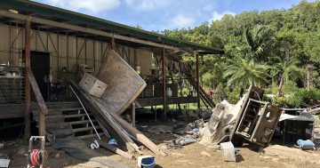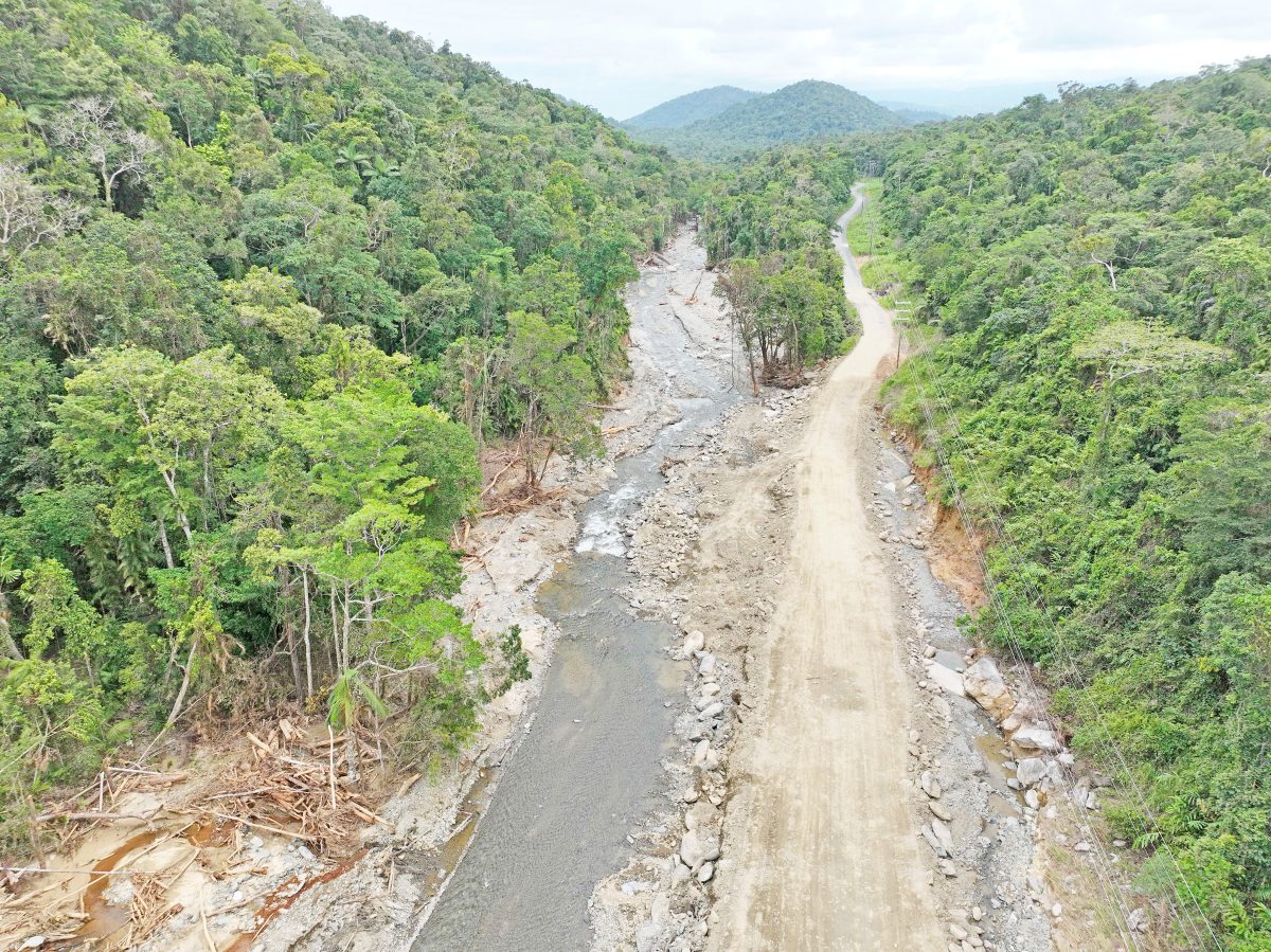
Gap Creek and the adjacent road shows a loss of riparian zone and destruction by flood debris flows.
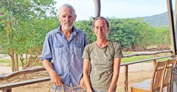
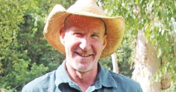
Written by Dr Jeff Shellberg, Cape York Water Partnership
Since the devastating December floods, Cape York Water Partnership has been working to assess water quality and flood impacts in the Annan and other river catchments, and consider ways our communities can be better prepared for future extreme flooding.
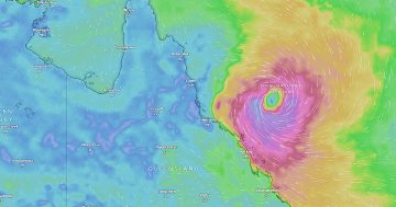
While the observed slowdown of Cyclone Jasper was not initially forecast by weather models, BoM continuously updated the forecasts for prolonged heavy rain.
But the models did not predict the magnitude of the six-day rainfall event in the higher ranges of the northern Wet Tropics.
Over 2970 mm of rainfall fell at Rossville (Lloyd data) in that period, with 885mm falling between 13-16 December, 1440 mm on 17-18 December and 665 mm on 19 December.
More rain likely fell higher in the ranges.
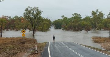
The Annan River at Beesbike rose to flood stage at six metres on 17 December at 7am, rose another five metres in 15 hours to a record 11.2 metres at 10pm when major damage began, and then rose another two metres overnight to peak at 13.3m, with this historic flood damaging property and threatening lives.
People living on floodplains know they are prone to flooding and prepare accordingly, but predictions of flood height risks for extreme events are lacking.
Improved rainfall-runoff modelling using high-resolution topography maps (LiDAR) could better assign risks to individual floodplain pockets or properties.
LiDAR topography data exist for many of the flood-affected communities south of Cooktown.

LiDAR data shows Wallaby Creek’s elevation and relative flood risk.
These areas should be re-flown post-flood to document flood impacts and assess future flood risks.
Tide and flood interactions in estuaries could also be better modelled, as could predicted changes with future sea level rise.
Real-time warnings of approaching floodwater could also be improved.
Queensland government flood height gauges on the Bloomfield and Annan River were damaged by the extreme floods, but still provided some warning of rising river levels for the area.
What was missing was real-time rainfall observations in higher elevation areas above the communities of Rossville and Wujal Wujal.
The installation of a rainfall gauge at upper Gap Creek above Rossville could help warn residents of potential floodwater heights and timing.
However, mobile phone and internet service – which is needed to access real-time data – is currently unreliable.
RE-BUILDING BETTER
Opening blocked roads from landslides and bank erosion is a priority for local councils, TMR, and the community.
However, rebuilding back to the same conditions keeps the community vulnerable to future failures.
The disaster recovery guidelines for both the Queensland Reconstruction Authority (QRA) and federal Disaster Recovery Funding Arrangements (DRFA) focus on repairing unsealed and sealed roads back to their pre-disaster conditions.

More culverts and better drainage are needed on local roads in parts of Cape York.
Instead of re-building past roads to their pre-disaster conditions, incorporating improved erosion control following best management practices will make roads more resilient for residents and reduce anthropogenic sediment loads to the Great Barrier Reef Lagoon.
Examples include using more drainage relief culverts, additional causeways and creek bridges, rock armouring of batters and steep slopes, stabilising road-caused gullies and landslips, minimising annual vegetation disturbance, re-vegetation of bare areas, and sealing gravel roads on unstable soils.
While no one foresaw the devastation to follow Cyclone Jasper, investing in these resilience measures can help our communities be better prepared for future flooding, and improve the health of our local waterways.
Dr Jeff Shellberg is a fluvial geomorphologist who has spent more than a decade in Cape York researching floodplain hydrology and geomorphology, gully erosion and sediment pollution loads to the Great Barrier Reef.