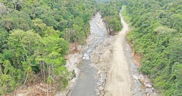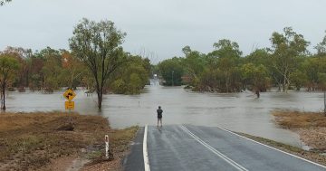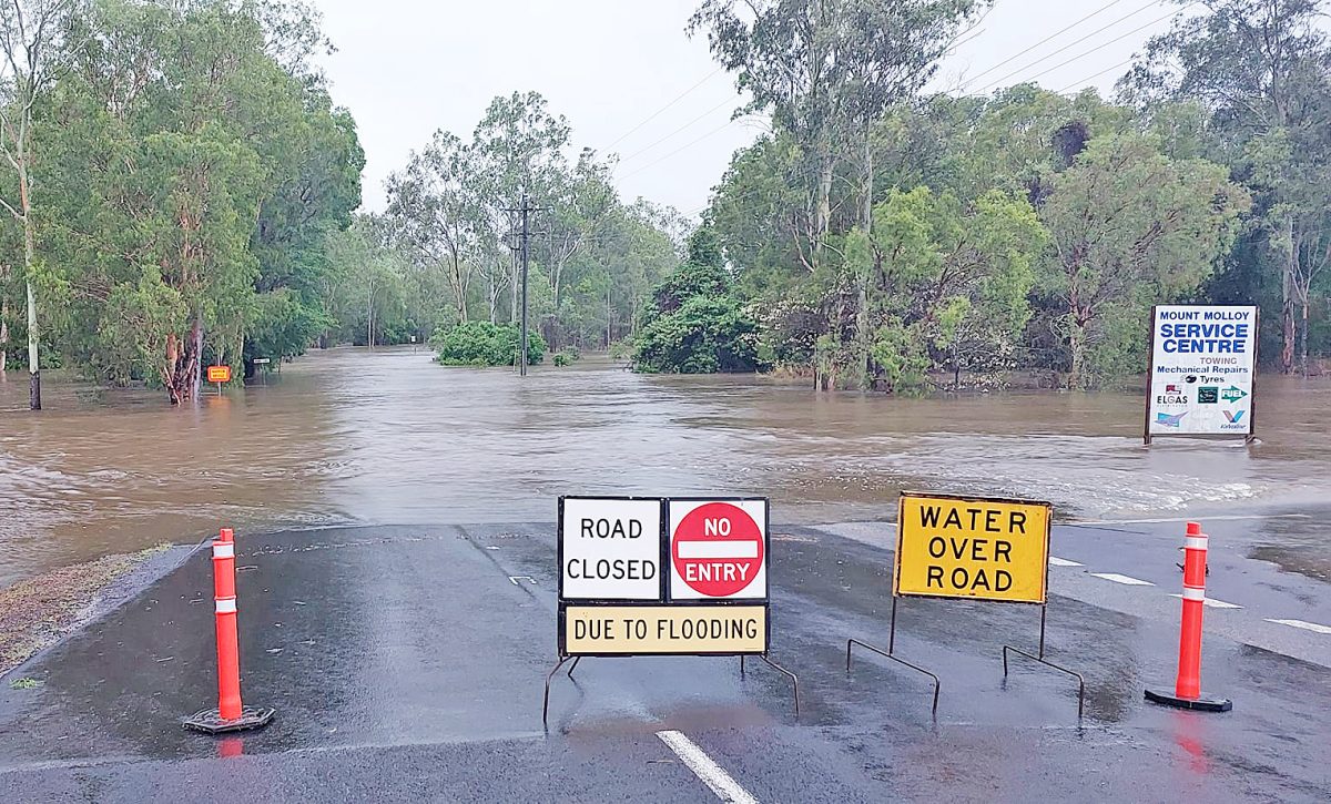
The Mulligan Highway was closed in about four different places on Monday, including Mount Molloy, as massive rain hit the region.
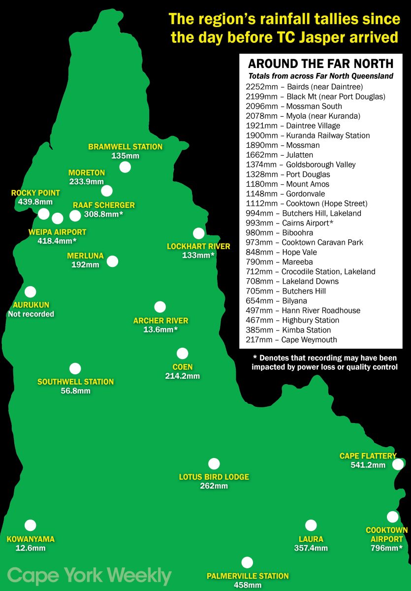
The deluge of rain that arrived after Cyclone Jasper made landfall was unprecedented in parts of the Far North, which led to the widespread flooding.
At Cooktown, more than 400mm fell in 24 hours, while reports from Helenvale suggest that almost three metres of rain fell in the space of a few days.
“It’s not accurate because we couldn’t keep emptying the rain gauge through the night, but I’m confident we had close to three metres of rain in Mungumby Valley,” said Michael Oliver.
“One metre fell in 12 hours from Sunday evening to Monday morning.”
One Cape York Weekly reader informed us that they measured 820mm of rain 24 hours at Mossman!
The rain led to record floods in many rivers.
Data shared by Cape York Water Partnership says that the Normanby River at Battlecamp peaked at 21.6 metres. The previous maximum (flood of record), since the river gauge was installed in 1967, was 19.7m in 2019.
The Annan River at Beesbike (near Little Annan bridge) peaked at 13.3 metres before the gauge stopped showing the river height. The previous maximum was 10.4 metres in 1999, and before that, 10.1 metres in 2004.
The Endeavour River did not have record flooding. It peaked at 9.2m at Flaggy gauge. The flood of record for the Endeavour was in April 1982, at 11.5m.
Bloomfield River at China Camp gauge stopped working at 8.1 metres.
Cape York Water Partnership wrote: “The hydrograph shape indicates it peaked well above this, possibly above 10m.
“Long-time residents say this is by far the most extreme flooding they have witnessed. The previous flood of record (since 1971) was 8.9m in 2019.
“Our scientists, along with state hydrologists, have been monitoring river discharge, velocity and sediment concentrations in the rivers throughout the floods.
“The total river discharge and sediment loads can’t be estimated until the flooding is over and data analysed, but we can say that the lower Annan River was three times dirtier than has been recorded during previous floods.
“Turbidity peaked at 2000 NTU in the estuary. That means extremely high levels of sediment dumped on the seagrass meadows at Walker Bay, Dawson Reef, and beyond.”