CAPE York motorists are turning to word-of-mouth and social media to monitor road conditions, with a series of faults in government-controlled flood monitoring websites making them unreliable.
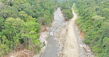
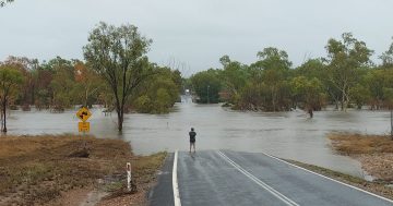
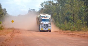
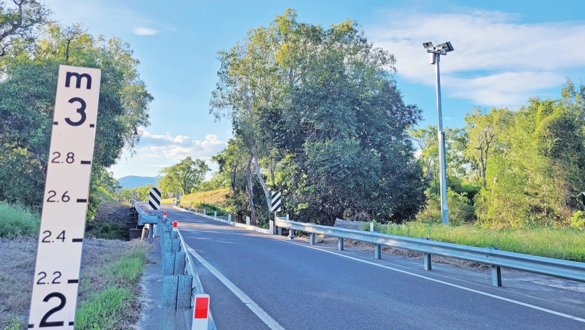
Heavy rain on February 26 and 27 resulted in an almost 24-hour closure of the Mulligan Highway, but a glitch in the Bureau of Meteorology’s river heights data showed the McLeod River as two metres below the bridge, despite water flowing almost a metre over the crossing.
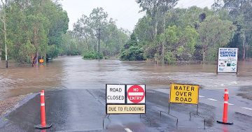
The Department of Transport and Main Roads’ QLDTraffic site also had the highway marked open throughout the flooding.
However, authorities have urged motorists to report road hazards, flooding and data glitches, as both errors were quickly fixed when theCape York Weekly reported them.
“QLDTraffic is updated when we receive verified information traffic conditions have changed,” a TMR spokesperson said.
“We received information the Mulligan Highway was flooded at the Little Annan and McLeod River and immediately updated QLDTraffic.”
Cook Shire’s disaster management officer Narelle Dukes said the council was advocating for better flood monitoring across Cape York.
“Council has installed cameras at more crossings, as well as a new river height monitor and flashing road closed signs at the Little Annan Bridge and the Endeavour Valley causeway,” she said.
“We also have an agreement in place with TMR to add their camera network to our website, so we currently have photos from the Moorehead and Hann rivers, Wenlock, Pascoe, Coen, Poison Creek, Endeavour Valley causeway, Wallaby Creek and Isabella and will soon add the TMR cameras at McLeod, Rifle, Bushy, Laura, Myall and Archer.”
Ms Dukes urged motorists to use the council’s Disaster Dashboard, accessed via the Cook Shire website, as their one point of truth when planning a journey during the wet season.
“As well as council’s flood cameras, users can access the BoM’s river heights data and TMR’s Qld Traffic road closures all in the one spot,” she said.
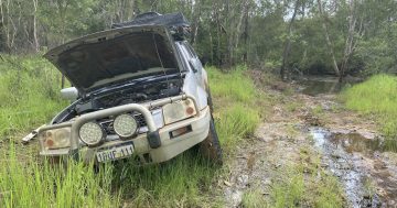
“It’s really important that people are checking not just the cameras, but also looking at the river heights to see whether the water is rising or falling and how fast, and also being aware of what rain is falling in the catchment for that crossing; you also need to be prepared or have a Plan B if you do get stuck between crossings and consider whether you need to travel at all.”
The TMR spokesperson agreed, urging motorists not to rely on flood cameras to plan their journey.
“The images provided by our flood camera network are provided as a guide only and are not intended to be used to determine safe access on state-controlled roads, as water levels and road conditions can change quickly.”
Ms Dukes said the council was also working with TMR to prioritise the repair of faulty flood cameras, such as the Archer River camera, which has been out of action for months.
The TMR spokesperson said there were technical issues with the camera, and the maintenance team was unable to reach the site due to wet weather and road conditions.
“Safety is our top priority, and repairs will be carried out when maintenance crews can safely reach the sites,” he said.
The spokesperson also responded to criticism of the QLDTraffic website, which currently doesn’t indicate whether there is a fault with equipment.
“We are working to improve the way we notify users of technical issues with a camera,” he said.
Faults with the BoM river heights data can be reported on the Bureau’s website, and road hazards, including flooding, on state-controlled roads can be reported by phoning 13 19 40.